How to Use Locations
SC Navigator refers to locations as geographic points, defined by geocoordinates. These locations can have several functions in your supply chain, however. Understanding how SC Navigator uses locations is key to creating an efficient and functional model.
When you produce a data template as a spreadsheet, you’ll see several sheets and attributes referring to “Location” data of one kind or another.
Defining Locations by Name and Geocoordinates
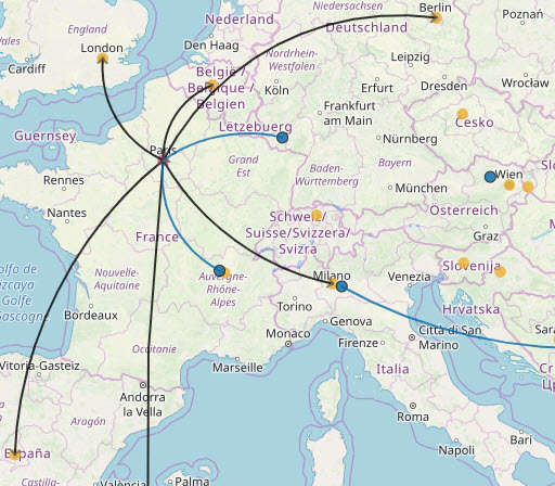
Locations are geographic points in space that represent your Suppliers, Productions, Warehouses and Customers. Each location is named and geocoded in Location Data. Once defined in the sheet, you can refer to locations by name as shorthand for the corresponding geocoordinates.
Defining Entities at Locations
Finally, to give the locations meaning in your model, you need to define in each of them at least one entity – Suppliers, Productions, Warehouses or Customers.
You can define more than one entity to a location. This does not function to group the items together, but to allow them to “share” a location name whose geocoordinates you have already defined.
For example, you may have a Production site in London that transform product “A” into product “B” through a BOM, and the same site also acts as warehouse to receive product “C” and send it to another location. However, you can assign them both the location “London_Site” and the model will know the coordinates to assign each one while you’ve only entered coordinates for “London_Site” once.
Depending on the scope of your network, it may or may not be useful to “share” a location among several entities in your data.
It may be more suitable for you to define the locations in your network one by one. Using the example above, you could then define a location “London_Production” and a location “London_DC” and give the exact geocoordinates for each separately in Location Data.